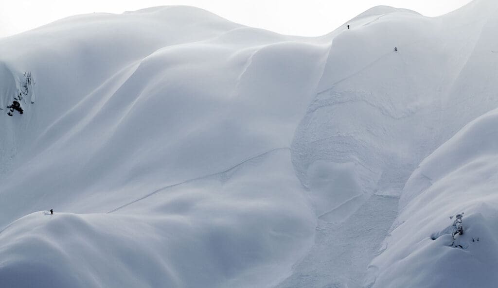
Over the past 20 years the advent of technology has truly changed the way we explore the backcountry. Not all of it is for the better.
The devices we all hold in our pocket so dear have brought about knowledge in ways that our ancesters would have never thought possible, and we have assimilated it into our daily lives in less than a generation. An untold number of GPS satellites circling our planet can give us our exact location in a matter of seconds. We can communicate to the world if we wanted to, and many take advantage of the offer. Furthermore, a map can determine the slope angle, aspect, and identify terrain traps so that we can make better decisions when route planning, allowing many to avoid danger and come home safe.
But what happens when that GPS device or smartphone fails?
When Things Went Wrong
Just over the last year, we saw countless stories unfold of people whose devices failed.
In New Hampshire, a lost hiker’s phone died right after a call with 911, adding hours to the search. He was found hypothermic but luckily survived.
North Shore Rescue reported on Reddit about a lost trail runner they were in communication with, but whose phone died during the exchange. Rescuers went after him at night, and he thankfully was recovered.
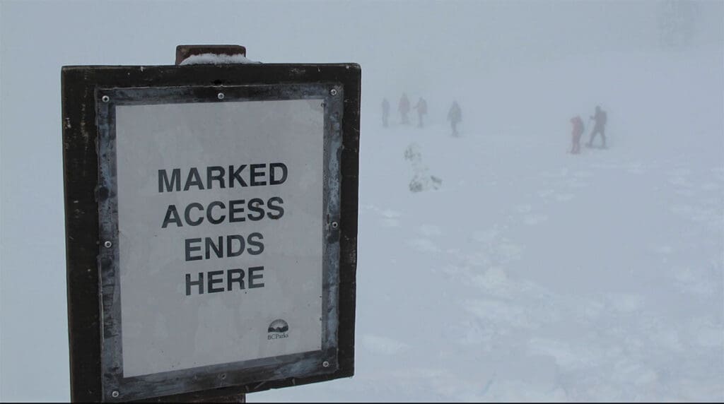
In this particular situation, hikers followed a trail on Google Maps that didn’t actually exist.
All of these situations could have been avoided with a little pre-planning.
Analog Navigation
20 years ago, people would bring a map and compass into the backcountry. Nowadays, not so much, and people ill-prepared are putting a strain on search-and-rescue operations. This should be an essential part of the kit every time you head out beyond a local loop trail.
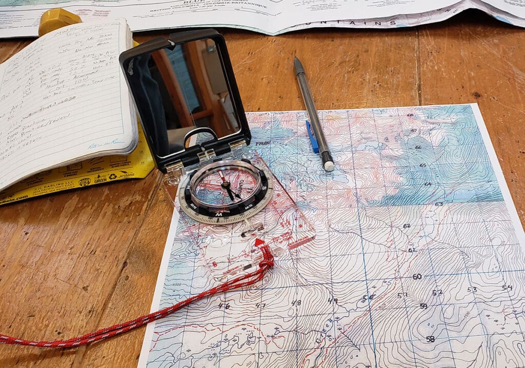
Topographic Map
These days we have the entire world mapped out. But how many people can find themselves on a map that doesn’t have their coordinates already pinpointed? A topographic map helps showcase the terrain features by using contour lines to show a change in elevation. It takes a bit of getting used to; but once you learn how to read a topographic map, you’ll be able to visualize the terrain without actually seeing it. Add in a set of bearings made possible by a compass, and you can find your exact location without the need of a bunch of satellites following your every move.
Compass
People have been using a compass for navigation for centuries. It’s a reliable way to help understand the direction you’re heading (bearing) and where certain points of interest are in relation to that heading. When you add in a topographic map to the equation, you can fix your location using the bearings and points of interest.
Using the two allows you to fix your location to find out where you are on the map. You do this by triangulating the different bearings. Find three points, line up the bearings on a map, and find where the lines intersect. That position is your location.
Tips for Success
Always Have a Trip Plan
Be sure to give detailed information on where you plan to go with someone who will be able to check in with you. At the very least, you should inform them of where the trailhead is and your expected return time.
AdventureSmart has a trip planning resource to help make the whole process easy and seamless, so that if communication does go dark, at least people will be able to find you in an efficient manner.
Treat Your Device as a Backup
It’s ok to use a device, as it indeed does help you find your location fast. But the big catch here is when it works. Devices will inevitably run out of batteries, or can fail when damaged. So thinking of it as a backup will save you in the end. Never rely on it for primary use. In fact, those who over-rely on GPS for navigation show diminished brain activity. It’s something those of us who have been doing it a while have always known, but it’s good to have science back it up.
Emergency Shelters
Another part of the backup plan is to know how to make a shelter if you need to spend an unexpected night out in the backcountry. We will be covering this in more detail later, so stay tuned and sign up for updates to know when we do. But at the very minimum you should have an emergency blanket and an extra dry layer to help you avoid hypothermia.
More Information Coming Soon
We are always updating our resources here, and keep coming back to find more valuable information on how to understand the elements. Check out our navigation page for more articles, and we will be having workshops shortly to help you dial in on your skills even more.
Stay safe out there!