Smartphones are great navigation tools until they aren’t. And the chances are, if you spend any amount of time in the backcountry, sooner or later, your phone will die. And chances also are that if something goes wrong, you’ll want to know where you are.
Countless calls to search and rescue happen every year due to people’s phones dying and they don’t know where they are. This is a fairly new trend, because before we relied on digital devices we took navigation more seriously. Our hope here at Alpine Islands is to bring those skills back and have fun doing it.
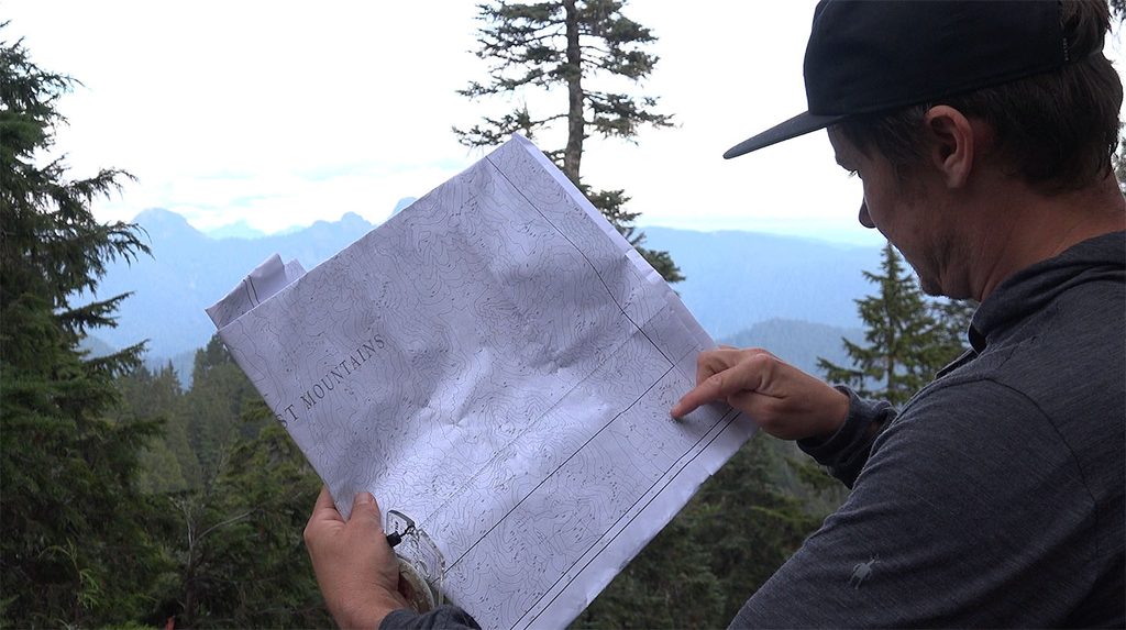
So I put together a small video to help you understand the basics of reading a topographic map: knowing your heading, finding location based on elevation and relative position, shooting a single bearing and positioning based on a sightline, and looking at the slope angle to help find your position.
There are many other tricks, but here’s the first in what will become a series of tutorials based on real-world field trips to help people know their place in the mountains. Our goal is always to empower others to have the tools to get out on their own and discover this planet.
Speaking of tools, you can get free maps in BC if you want to follow along, just search for 92G45 which is part of section 92G, the North Shore and the southern end of the Sea to Sky.
That said, this is just for informational purposes, and we recommend you get out and join a course with us. Sign up via the form below and stay updated if you’d like to get on a navigation course yourself! We’re based around Vancouver and the Sea-to-Sky area of BC, Canada. Come say hi!

Steve Andrews is a lifelong adventurer since before he could walk. A skier since age 2, snowboarder since 11, he began his guiding career in 2007. He has a passion for teaching people how to fish, and helping them discover their own power in the mountians. He started Alpine Islands to give people a different take on achieving mastery in the wild (hint: you’re never a master of Mother Nature). He lives in Horseshoe Bay, British Columbia with his partner and two kids.